
Strava vs Trailforks vs MTB Project: Ride Legally (2026)
How we verified this: We focused on legal use—what helps riders follow posted rules. We reviewed each platform’s official documentation (offline maps, trail status/closures, and routing behavior), plus federal land-manager guidance (NPS/USFS/BLM). Verified as of . This page is informational and not legal advice; always follow on-site postings.
Most “best app” comparisons chase features and social clout. Our lens is narrower: which app helps you ride where you’re allowed to ride, avoid closed segments, and carry the right map when you lose signal.
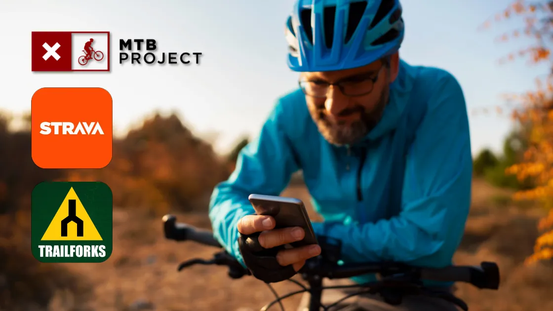
Short version: Trailforks is strongest for finding MTB trails, conditions, and closures in many regions; MTB Project is a solid free option in many areas; Strava excels at recording, segments, and social but is not a trail-access authority. Use them together—the right stack helps you stay on legal routes and avoid closed segments.
Our Criteria: Legality & Compliance First
Trail Access Signals
- Shows trail status/conditions and closure cues where networks publish them
- Notes on bike/e-bike allowance where provided (still verify locally)
- Clear trail directionality and difficulty notes
Offline Reliability
- True offline downloads (not just “recently cached” tiles)
- Readable trail labels and junction context
- Battery-friendly navigation behavior
Local Rule Awareness
- Encourages reliance on land-manager postings and designations
- Handles seasonal closures and status updates where available
- Avoids implying access where none exists
What Each App Does Best (for Riding Legally)
Trailforks
- Strong for MTB trail discovery and trail-network management tools used by many trail groups and regions.
- Offline maps and offline trail data support.
- Conditions/status and reports are surfaced where networks and users contribute updates.
Use it when: You need a dedicated trail map with offline options and status/condition awareness.
MTB Project
- Free, curated trail guides with descriptions and photos.
- Offline support (downloaded trails work offline), but background map behavior can vary when you’re fully offline.
- Good backup map in many classic U.S. MTB zones; community-driven.
Use it when: You want a no-cost backup map and a second opinion on routes.
Strava
- Recording, training history, and route planning for mixed-surface rides.
- Heatmaps show where people ride—but heat ≠ legal access.
- Offline route maps exist for downloaded routes, but it still isn’t a land-manager legality source.
Use it when: You want tracking and routes, then confirm access/closures with a trail map + land-manager postings.
Legality-Focused Comparison
| Feature | Trailforks | MTB Project | Strava |
|---|---|---|---|
| Trail database depth (MTB) | Extensive in many areas; also used as a trail management platform | Curated coverage; varies by region | Strong for roads/gravel; MTB trail legality is not its purpose |
| Closure/status surfacing | Supported via reports/status where networks and users contribute | Available on many trails | Limited; rely on official sources |
| Offline maps | Offline trail maps + offline trail data | Downloaded trails work offline; background maps can vary offline | Offline route maps for downloaded routes |
| E-bike access notes | May appear; verify locally (class rules differ) | May appear; verify locally | Not an access authority; verify elsewhere |
| Authority for legality | Helpful planning signal; final say is land manager + signage | Helpful planning signal; final say is land manager + signage | Not an access authority; use as a complement |
| Property/ownership layers | Can help with awareness in some areas; not determinative | Limited/varies; confirm locally | Third-party layers may exist; do not rely on for access rights |
E-bike nuance: Many trail systems treat e-bikes differently by class (or ban them unless designated). Apps may not consistently show class-specific access—always check posted rules and the land manager.
One Source Has the Final Say: The Land Manager
Apps help you plan, but the sign at the trailhead and the land manager’s page always win. U.S. federal agencies publish e-bike guidance and often rely on unit-level designations and posted maps. City and county rules can be even more specific.
National Park Service
NPS policy enables e-bike use in the same manner as traditional bicycles where traditional bikes are allowed, with local restrictions and designations by park units.
U.S. Forest Service
USFS guidance treats Class 1–3 e-bikes as motor vehicles and allows them on motorized roads and trails. Non-motorized access depends on designation through travel management.
Bureau of Land Management
BLM generally allows e-bikes on OHV-open roads/trails/areas, and permits non-motorized-route access only when a BLM manager issues a written decision authorizing it.
Tip: Apps are helpful, but land managers have the final word. See our Federal Lands E-Bike Guide for NPS, USFS, and BLM context before you ride. And always carry at least one true offline map. Cell signal is not a plan.
Editorial Standards & Verification
What we verify
- Offline capability and limitations using each app’s official documentation
- How each platform describes trail status/closures and user reporting
- Federal land-manager guidance for e-bike access (NPS/USFS/BLM)
What we avoid
- No claims that override posted rules or land-manager designations
- No “heatmap = legal” assumptions
- No price/plan claims without linking a current official source
Disclosures
- This page is informational and may change as apps and agencies update policies
- Always follow on-site postings and official land-manager designations
References & Official Resources
- Trailforks (official): Mobile App • Offline maps (help) • Trail reports & conditions
- MTB Project (official): Mobile app help (offline behavior) • About
- Strava (official): Subscription features (includes offline route maps) • Following a route • Global Heatmap
- National Park Service: E-bikes in National Parks
- U.S. Forest Service: Electric bicycle use
- Bureau of Land Management: E-bikes on BLM-managed public lands • BLM e-bike FAQ (designation + written decision)
Ride Legal. Ride Prepared.
Use a trail app to confirm status and offline coverage, then record with your favorite tracker. When in doubt, the sign at the trailhead is the rule.